1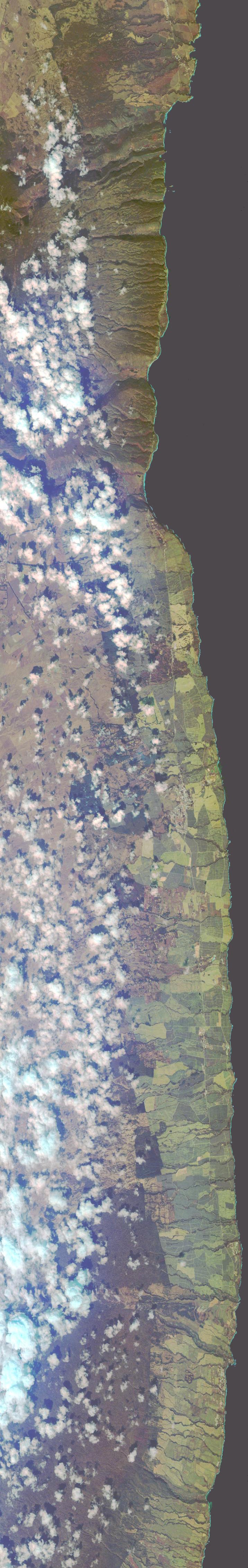 |
2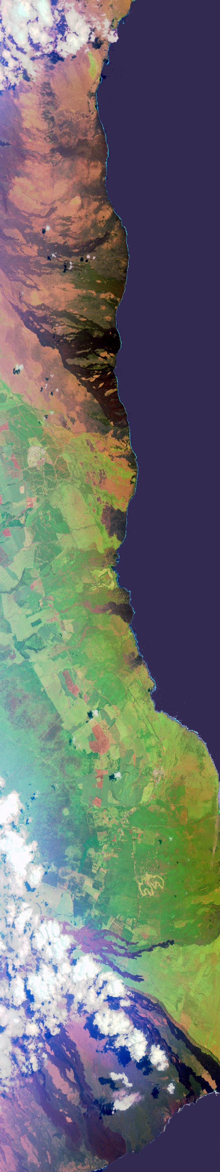 |
3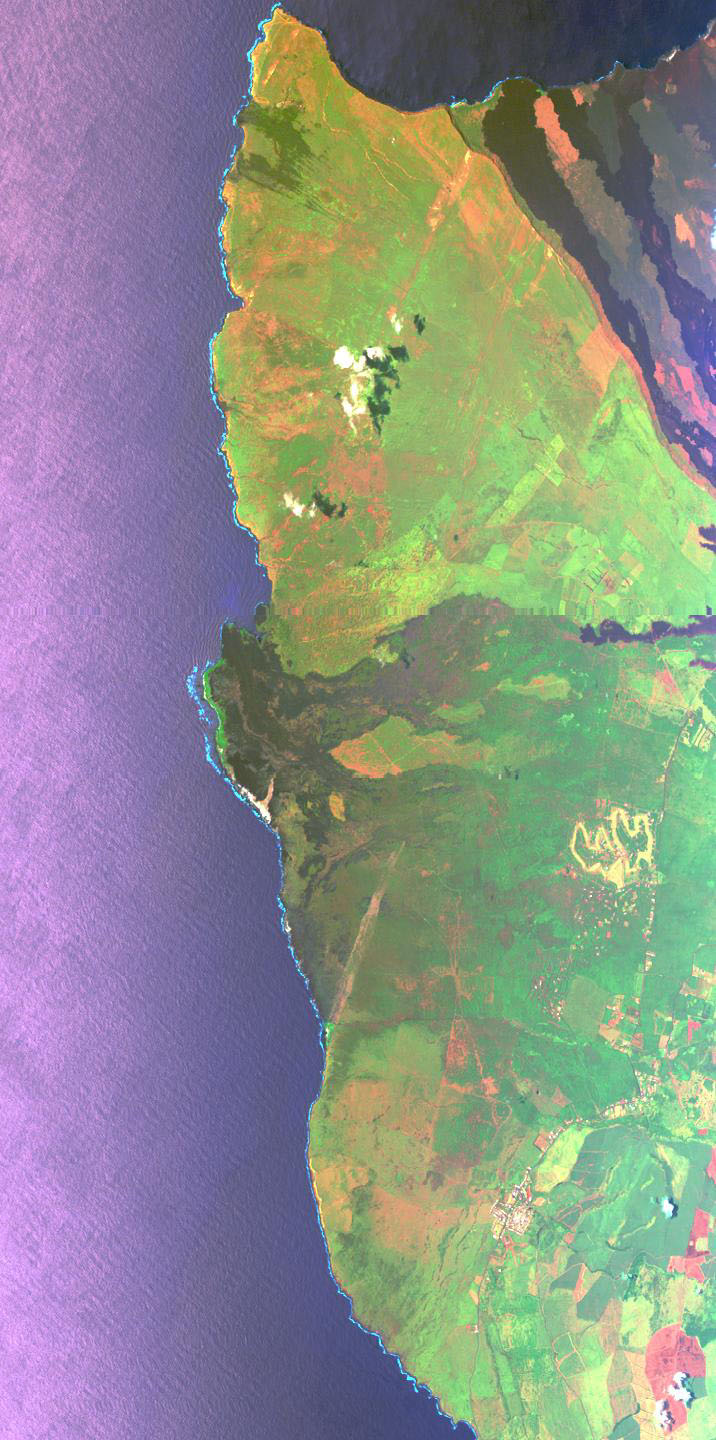 4 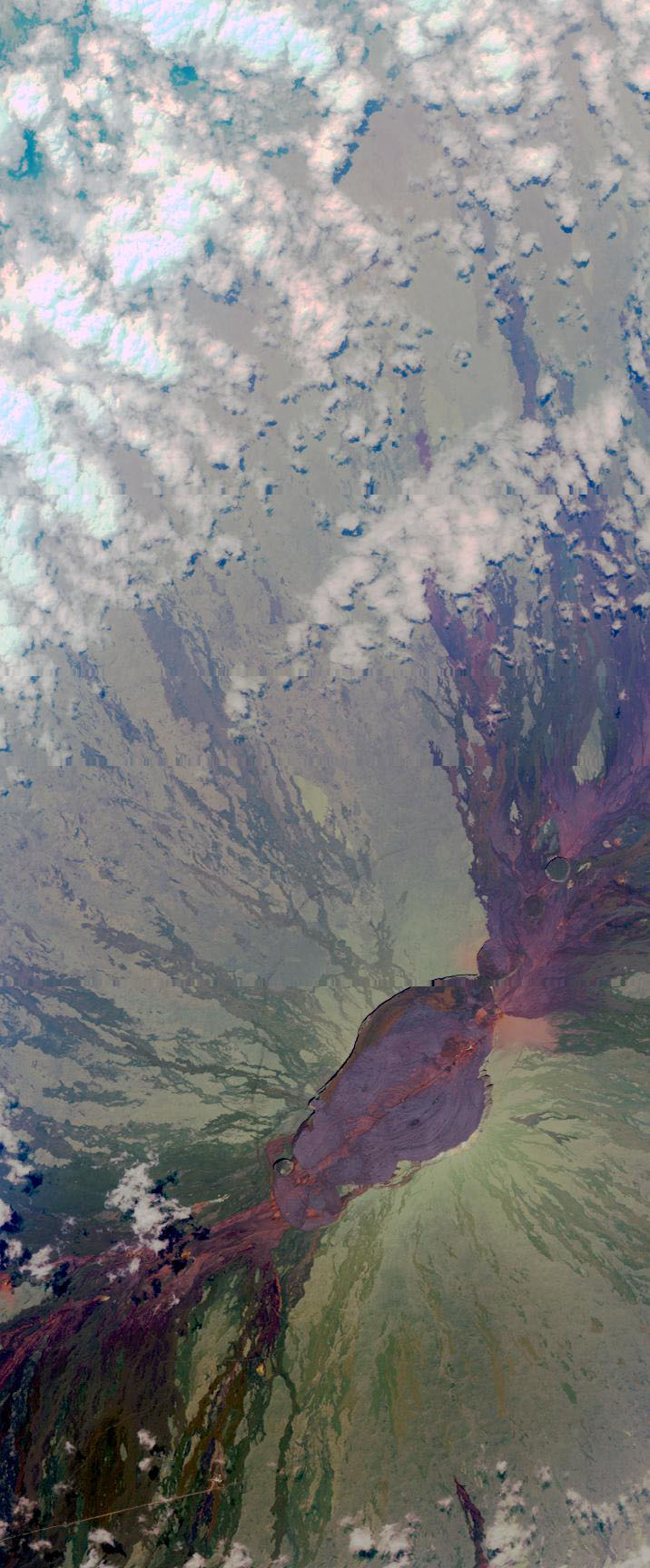 5 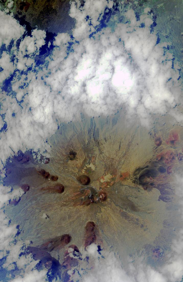 6 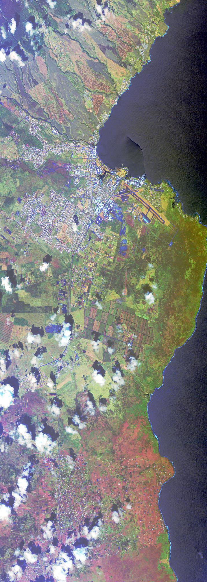 |
7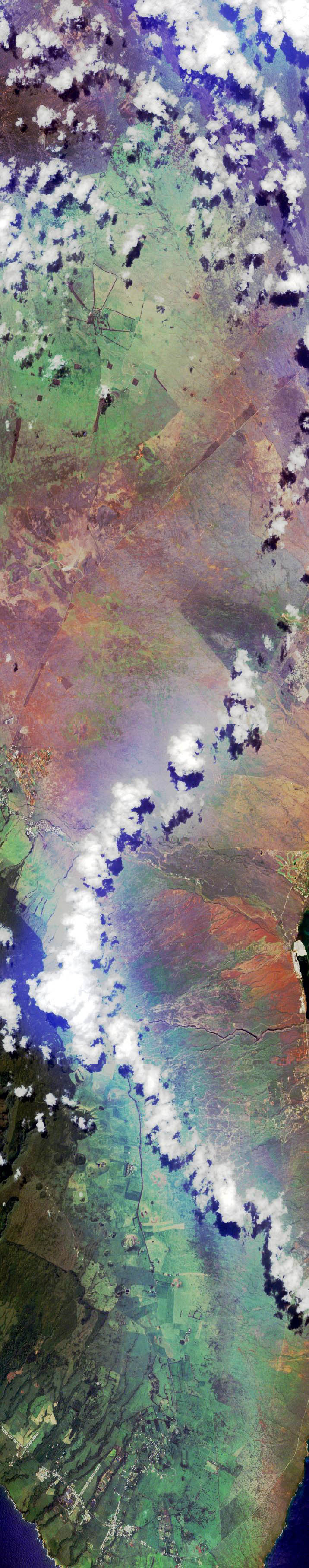 8  |
9 |
10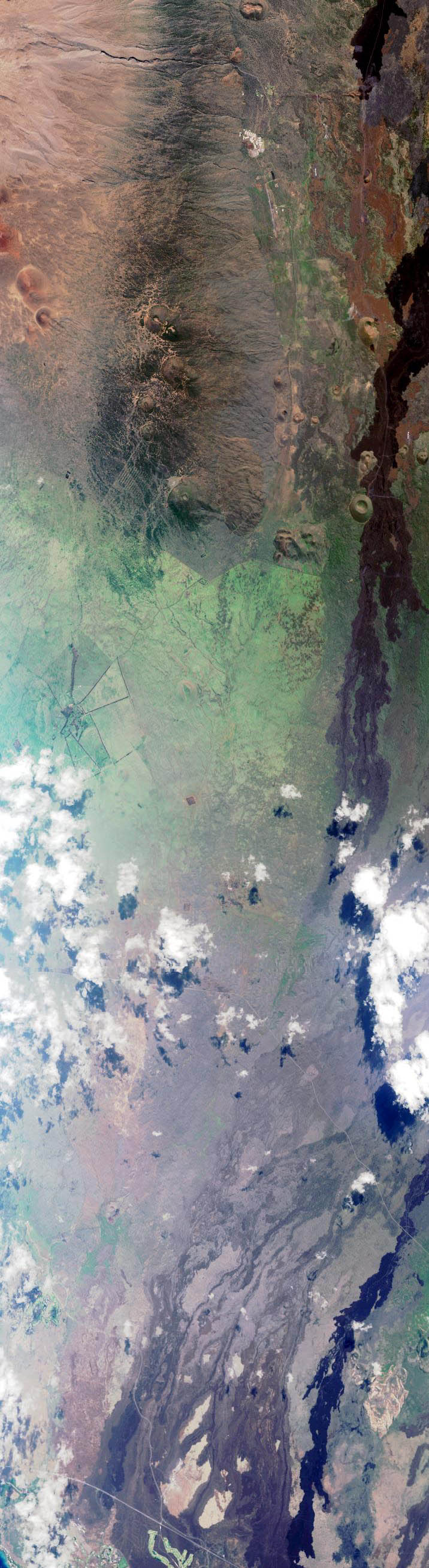 |
11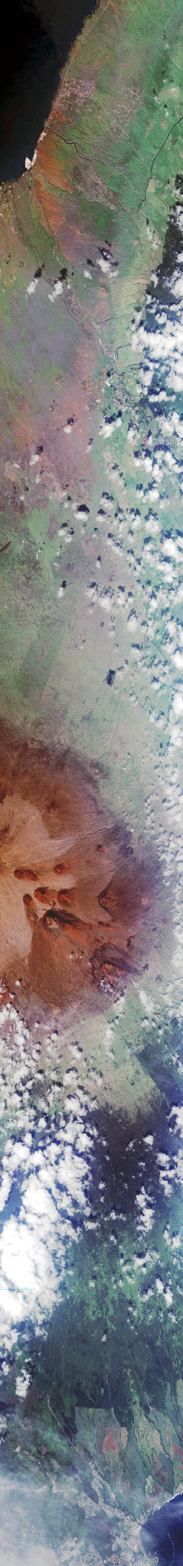 |
12 |
In late 1998 the Virtually Hawai‘i Project added a series of 12 images of the Big Island to their website.
They are fairly high resolution, around 15 meters per pixel, a very impressive free source of data! Peter Mouginis-Mark explained via email:
"Those images are indeed aircraft data, since the flight lines would be difficult to obtain from a small number of satellites in different orbits. They were obtained from a NASA aircraft in 1992. These are true "remote sensing images" in that they were collected with an instrument operating at wavelengths between 0.4 - 2.4 microns, plus a thermal channel at 10 - 11 microns. The instrument is intended to provide data comparable to the Landsat Thematic Mapper (on the new Landsat 7 spacecraft).
There has been no geographic registration applied to these data. Unless there is a science project that requires exact image registration, the time needed to identfy registration points in the image and a GIS data base would be too great.
Since these are NASA data, there is no copyright on any of the scenes. Thus, if you wish to use them for your presentation, you do not need to worry about reproduction rights. And of course you would have different colors compared to the SPOT data that you purchased, since the wavelengths of these NASA data are different."
In order to get to the data, i used their Remote Image Navigator extensively, and got only a section of each image. I downloaded them all and manually reassembled them. Below are thumbnails of the resulting images:
| 1 |
2 |
3 4 5 6 |
7 8 |
9 |
10 |
11 |
12 |
Here is the coverage of the swathes, as well as i could guess, by using image feature comparison to a known high-resolution whole-island image:
