Update 2012: Matt Fox georeferenced these Orthophotos and also created mosaics for each island and a Google Earth overlay for each island.
These are scans of old paper aerial orthophoto maps published by the USGS. They were scanned at 400dpi, saved as TIF, then converted to MrSID images, each approximately 11MB in size. They are hosted here for your convenience because they are not available directly from the USGS website.
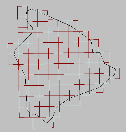
They are not real DOQs because they have not been georeferenced. However, one could probably rectify and register them fairly closely without too much difficulty, because the projection and extent information is printed on each map.
You can use the clickable indices below, or simply browse the folders via HTTP.
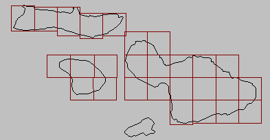
Oahu is actually in ECW format instead of MrSID, because i acquired only TIF files for it, and the ECW compressor was free.
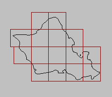
Note that Lana‘i is split into 5 quads, which is apparently an old-fashioned way to do it; current USGS datasets use 4 quads for Lana‘i.
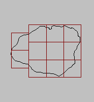
As far as i know, there are no OrthoQuads for Ni‘ihau or Kaho‘olawe.